Urban space conversion visualization

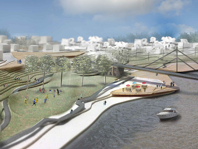
Visualization for urban space conversion in Vilnius. Idea is to create active shore for river Neris, public spaces for district residents and tourists.
Visualization is made using photo montage technique whose base is landscape paper model.
What do you think guys?


